Bringing Visions to Reality...Virtually
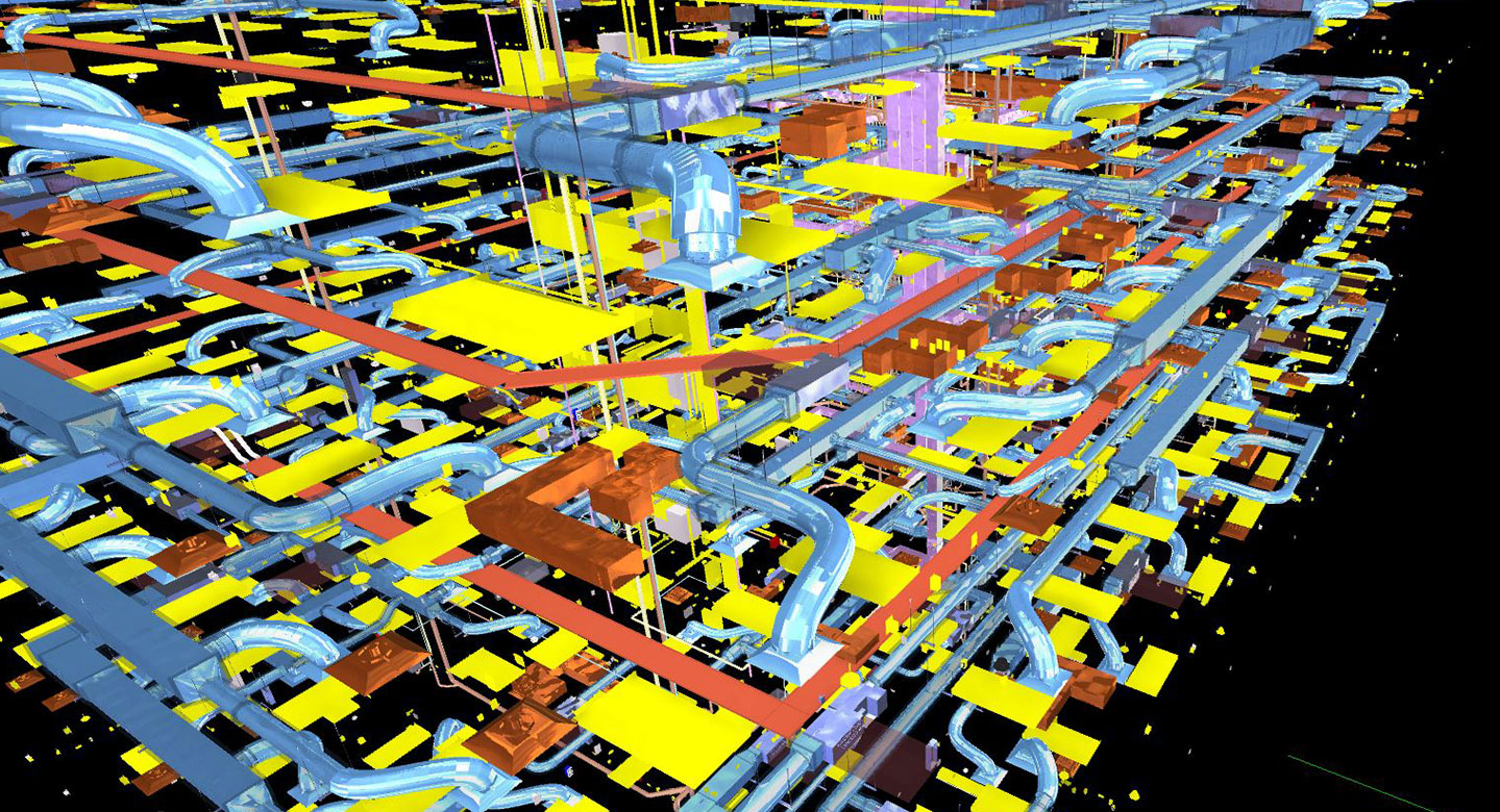
Virtual Design & Construction plays an integral role in providing a different perspective to a project. The objective of VDC is threefold: 1) use virtual models to simulate the complexities of the design and construction project; 2) understand all areas of concern; and 3) analyze and synthesize building systems in order to identify potential areas of concern before construction work ever takes place in the real world.
Building Information Modeling Consulting
- Site Utilization & Logistics
- Building Information Modeling, 2D to 3D
- 3D Coordination & Constructability Reviews
- 4D Schedule & Sequencing
- 5D Quantity Take-Offs
- 6D Facility Management
- Clash Detection, Review & Resolution
- Record Modeling
- Virtual Mockups
- Renderings & Animation
Technology Utilized
- Revit
- Sketchup
- Navis Works
- Lumion 70
- Drone Deploy
- Twin Motion
- Autodesk Recap
- Laser Scanning
- AutoCAD
- Virtual Reality (VR)
- Augmented Reality (AR)
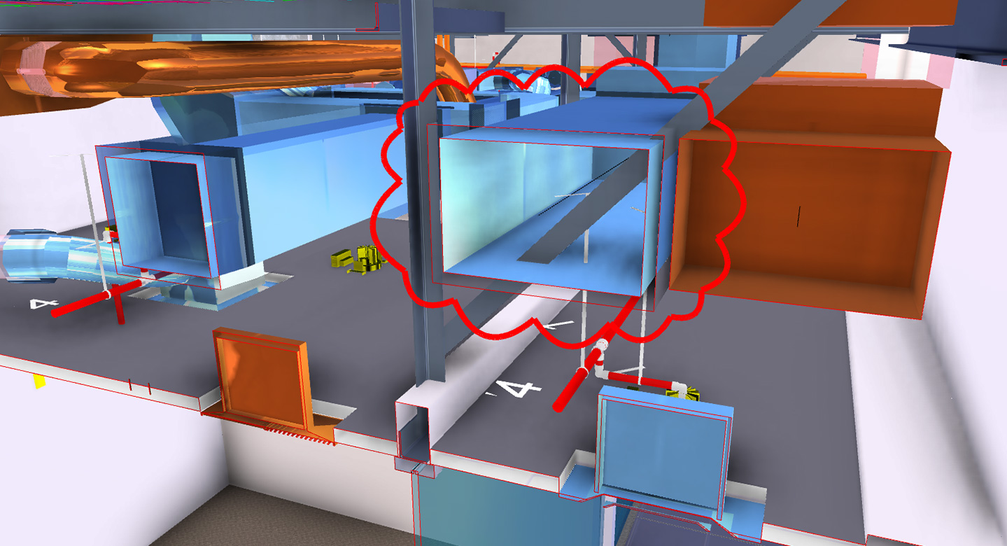
Clash Detection
- Coordinate separate trades in an accurate 3D virtual environment
- Fix construction issues before installation of material
- Analyze the design team’s systems confirming efficiency and constructability
Virtual Mockups
- Visualize a complex item for installation or aesthetics
- Work through various design options for a solution
- High level of detail used for quantity takeoff of material
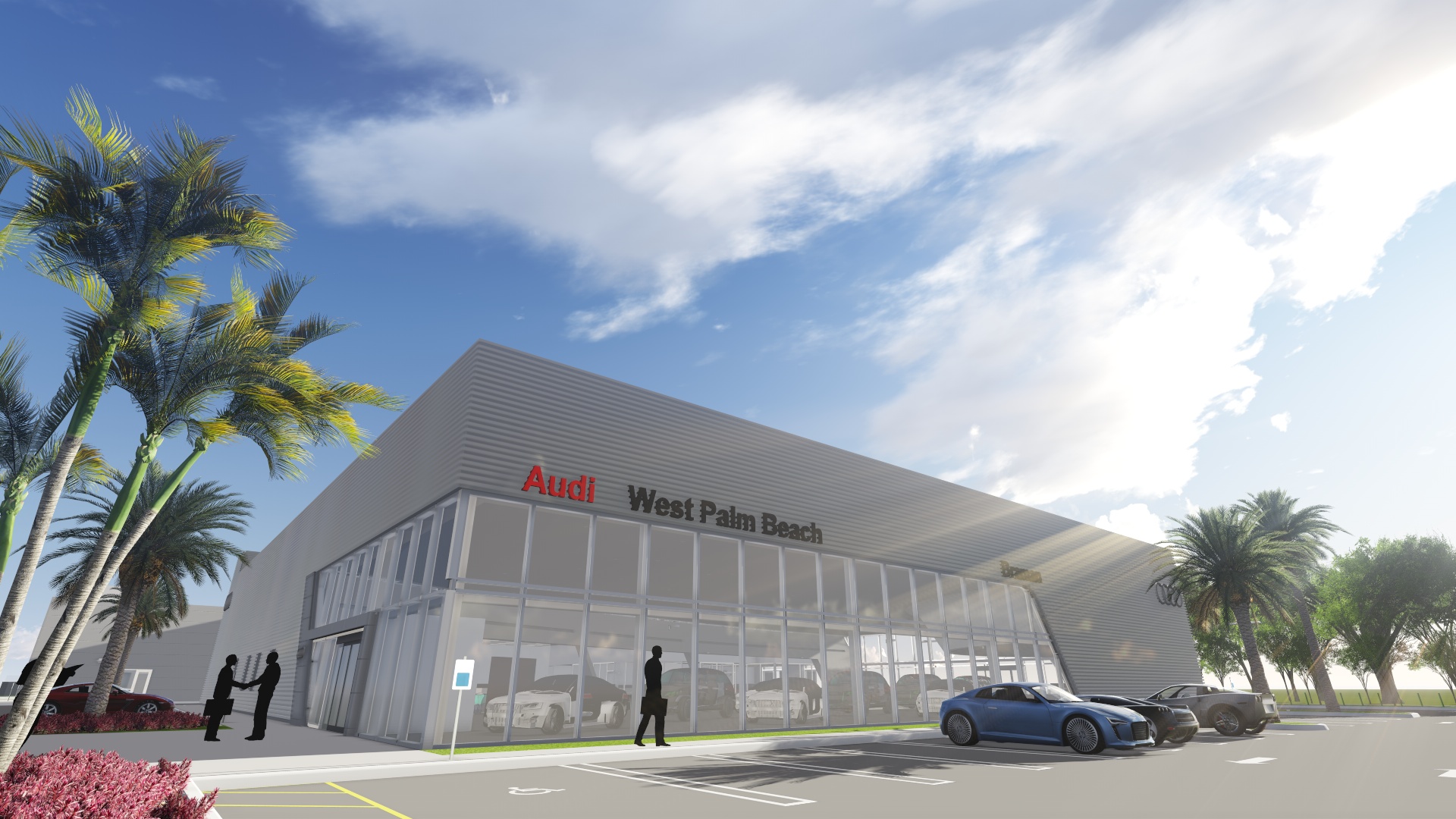
Virtual Mockups
- Visualize a complex item for installation or aesthetics
- Work through various design options for a solution
- High level of detail used for quantity takeoff of material
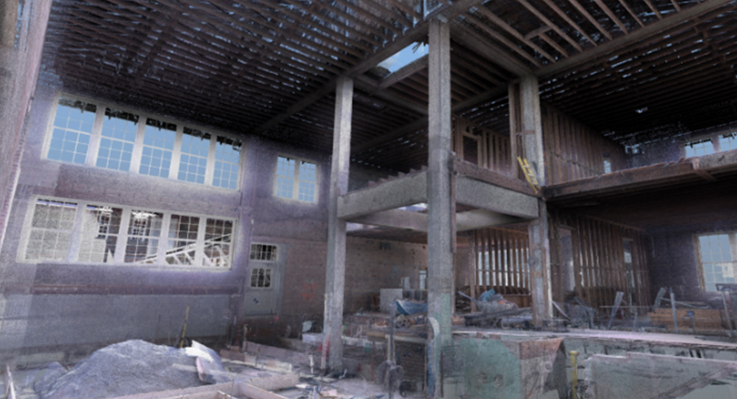
Laser Scanning
- Easy, quick and accurate way of surveying an existing structure
- Identify issues that may have been missed merely by visual inspection
- Used as a basis of design or virtual coordination
- Verify correct installation and location
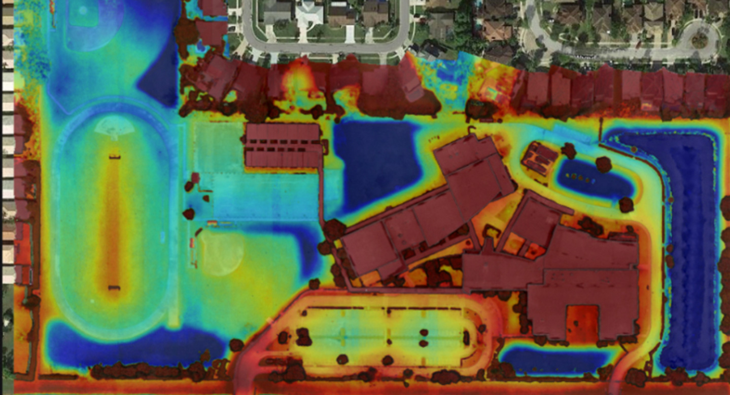
Drone Deployment
- Document hi-res aerial maps of current site conditions
- Use map data for accurate measurements and topography elevations
- Calculate cut and fill for ground removal and proposed terrain
Drone Deployment
- Document hi-res aerial maps of current site conditions
- Use map data for accurate measurements and topography elevations
- Calculate cut and fill for ground removal and proposed terrain
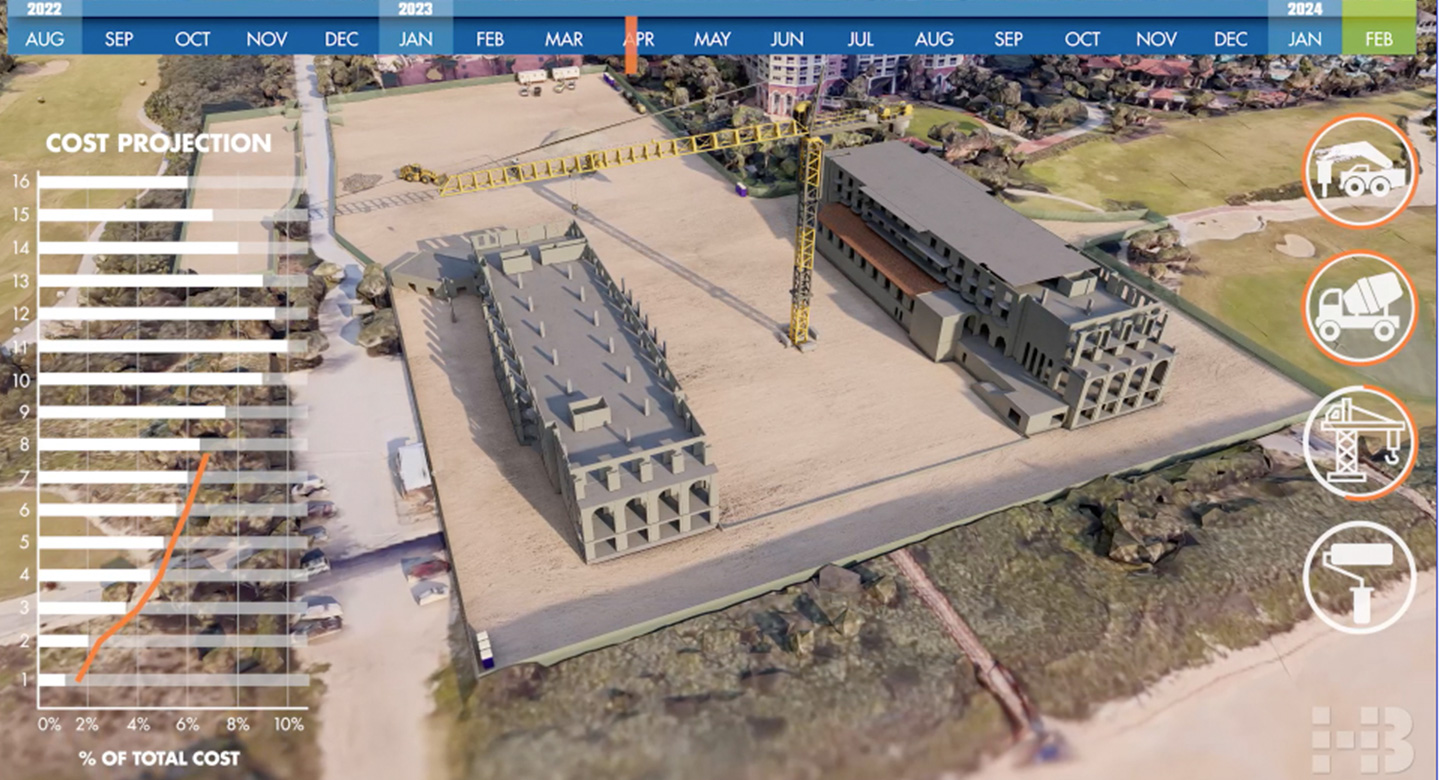
Site Logistics
- Visualize the construction impact of the surrounding area at different phases of the project
- Plan courses of action during phases of construction
- Secure a safe and productive site
Virtual Tour
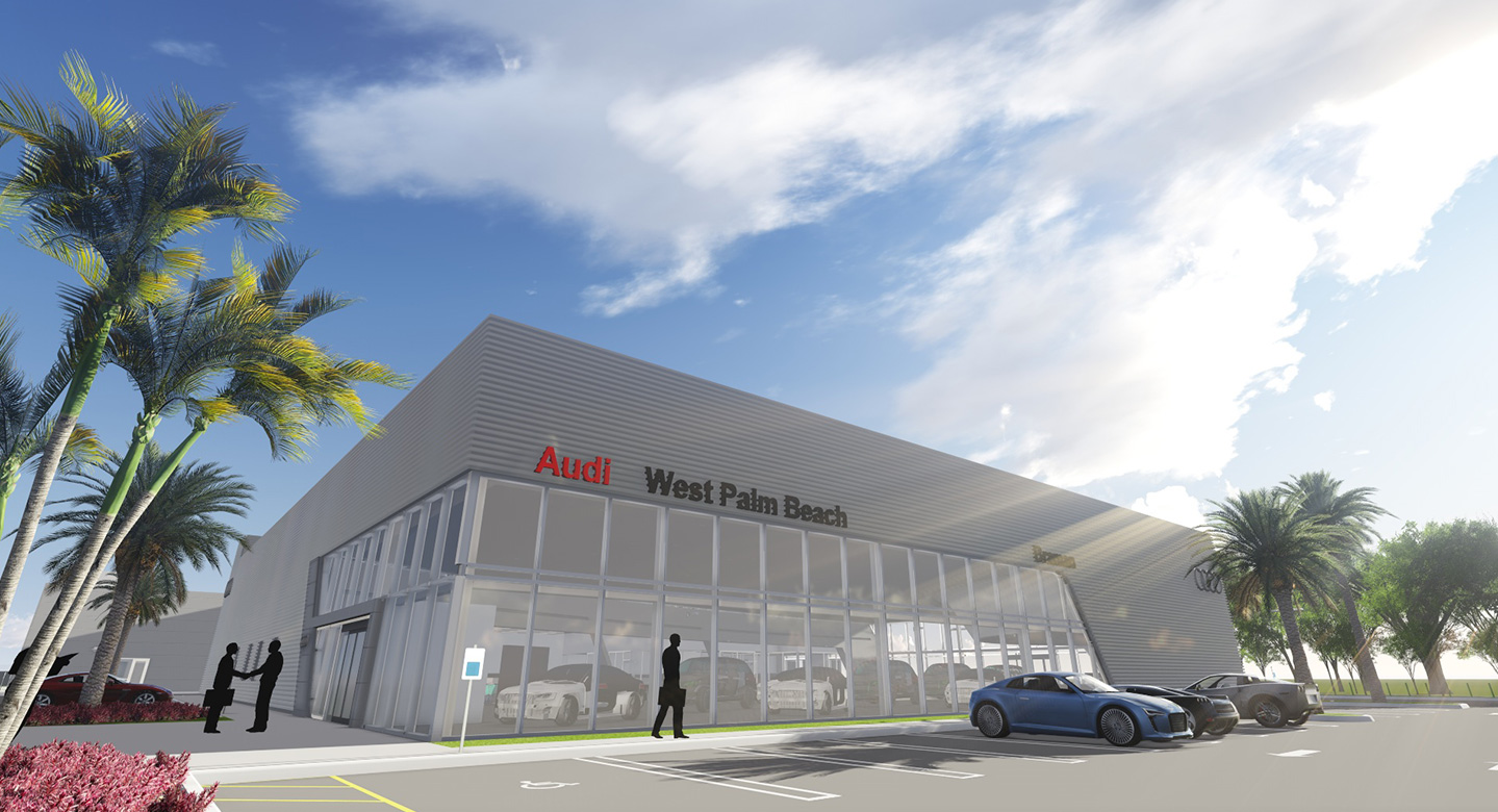
- Feel the design of the project through a realistic virtual experience
- Work through numerous design options, products and materials for approval and purchase
- Advertise to current and future members of the establishment
Virtual Tour
- Feel the design of the project through a realistic virtual experience
- Work through numerous design options, products and materials for approval and purchase
- Advertise to current and future members of the establishment
Advanced Technology
The company is committed to continuous process improvements and the utilization of industry-specific technologies. State-of-the-art software includes:
- Cloud-based Procore project management
- Microsoft Project or Primavera for scheduling
- Sage 300 for estimating, financial and accounting
- Autodesk for Virtual Design & Construction
- Office 365
- Mobile and remote technologies
These systems enable us to share detailed, real-time data with clients, design teams, leadership, and project teams through the preconstruction, programming, design, construction, and commissioning of a project.
